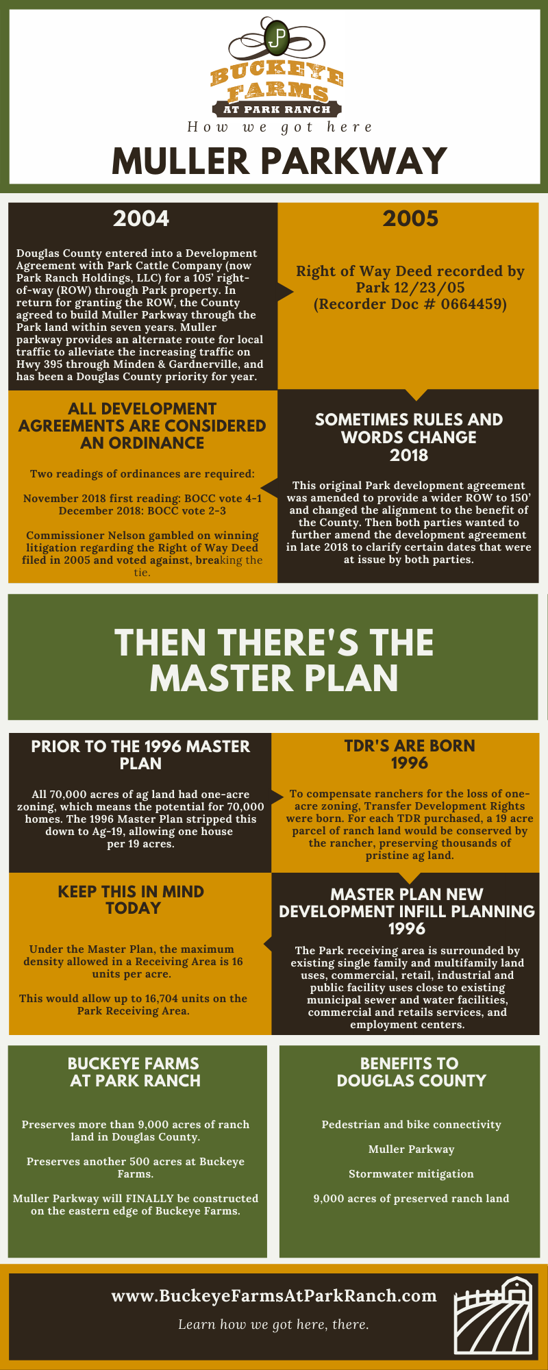
With many questions surrounding Muller Parkway, Douglas County’s Master Plan, and zoning rights and ordinances, we put together a timeline and explanation of how it all works, and how we got here. The infographic is transcribed below.

Infographic Transcript
Muller Parkway
2004
Douglas County entered into a Development Agreement with Park Cattle Company (now Park Ranch Holdings, LLC) for a 105′ right-of-way (ROW) through Park property. In return for granting the ROW, the County agreed to build Muller Parkway through the Park land within seven years. Muller Parkway provides an alternate route for local traffic to alleviate the increasing traffic on Hwy 395 through Minden & Gardnerville, and has been a Douglas County priority for years.
2005
Right of Way Deed recorded by Park 12/23/05 (Recorder Doc # 0664459)
SOMETIMES RULES AND WORDS CHANGE
2018
This original Park development agreement was amended to provide a wider ROW to 150′ and changed the alignment to the benefit of the County. Then both parties wanted to further amend the development agreement in late 2018 to clarify certain dates that were at issue by both parties.
ALL DEVELOPMENT AGREEMENTS ARE CONSIDERED AN ORDINANCE
Two readings of ordinances are required: November 2018 first reading: BOCC vote 4-1
December 2018: BOCC vote 2-3
Commissioner Nelson gambled on winning litigation regarding the Right of Way Deed filed in 2005 and voted against, breaking the tie.
Then There’s the Master Plan
PRIOR TO THE 1996 MASTER PLAN
All 70,000 acres of ag land had one-acre zoning, which means the potential for 70,000 homes. The 1996 Master Plan stripped this down to Ag-19, allowing one house per 19 acres.
TDR’S ARE BORN
1996
To compensate ranchers for the loss of one-acre zoning, Transfer Development Rights were born. For each TDR purchased, a 19-acre parcel of ranch land would be conserved by the rancher, preserving thousands of pristine ag land.
MASTER PLAN NEW DEVELOPMENT INFILL PLANNING
1996
The Park receiving area is surrounded by existing single family and multifamily land uses, commercial, retail, industrial and public facility uses close to existing
municipal sewer and water facilities, commercial and retails services, and employment centers.
KEEP THIS IN MIND
TODAY
Under the Master Plan, the maximum density allowed in a Receiving Area is 16 units per acre. This would allow up to 16,704 units on the Park Receiving Area.
Buckeye Farms At Park Ranch
Preserves more than 9,000 acres of ranch land in Douglas County.
Preserves another 500 acres at Buckeye Farms.
Muller Parkway will FINALLY be constructed on the eastern edge of Buckeye Farms.
Benefits to Douglas County
Pedestrian and bike connectivity
Muller Parkway
Stormwater mitigation
9,000 acres of preserved ranch land
If you have any further comments and questions, we’re at buckeyefarms@parkranch.com.


